Construction & Engineering Projects


Details
Marketing and promoting your projects
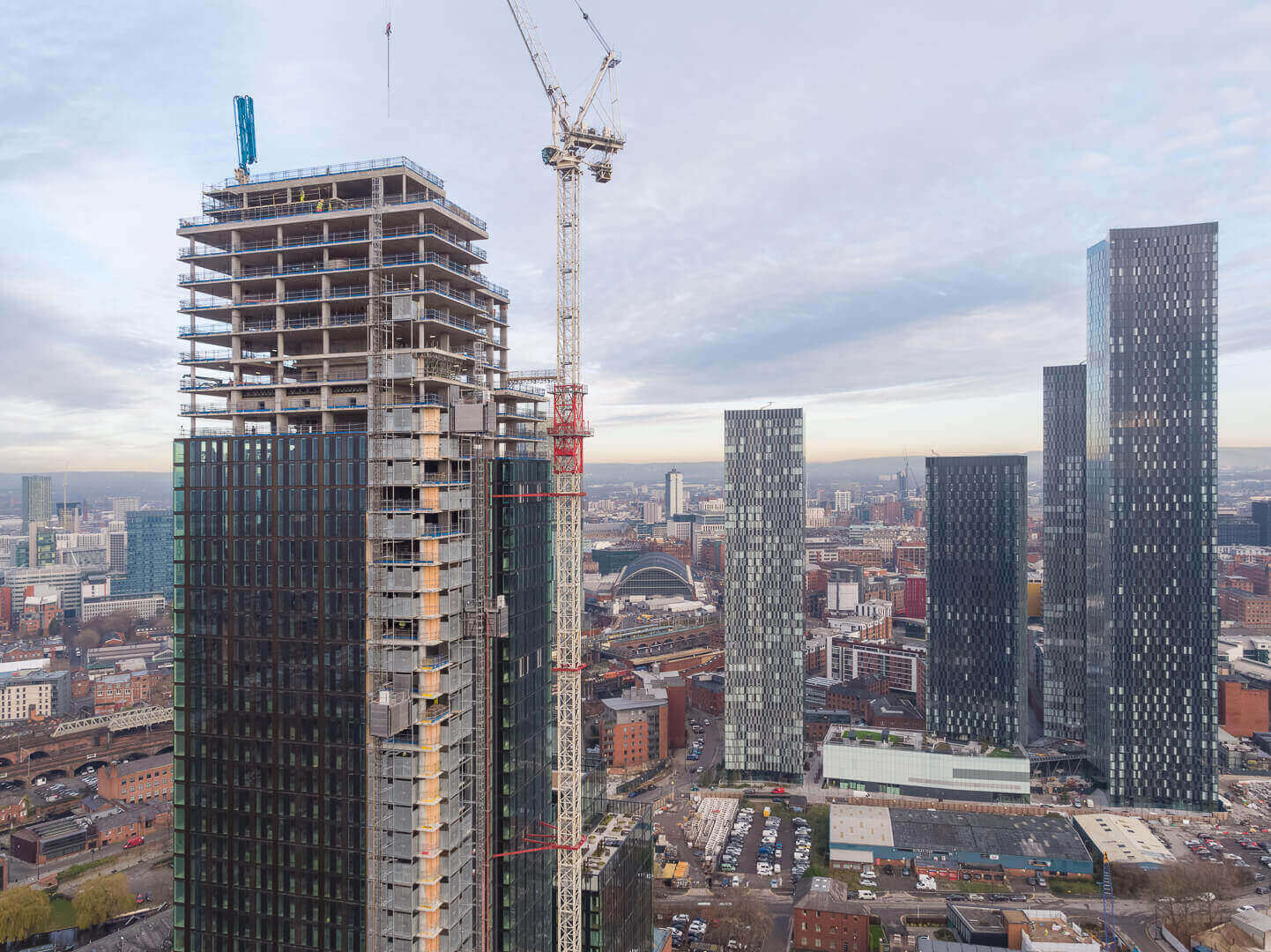
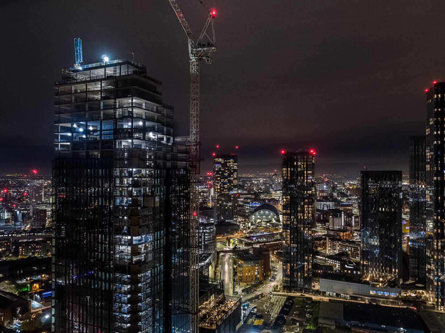
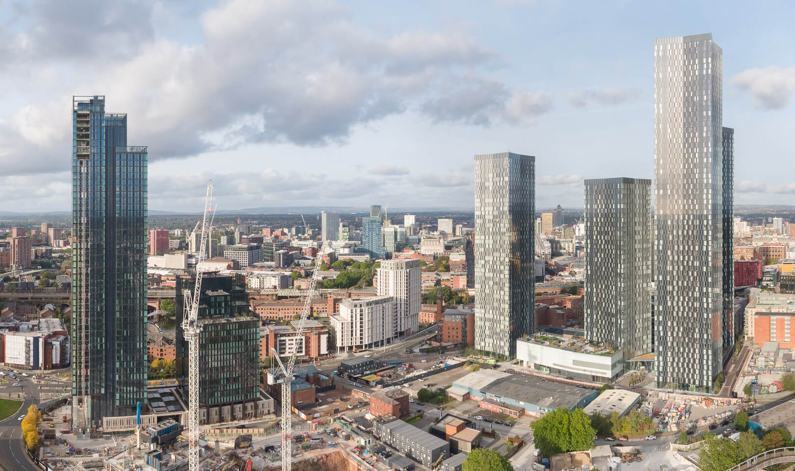
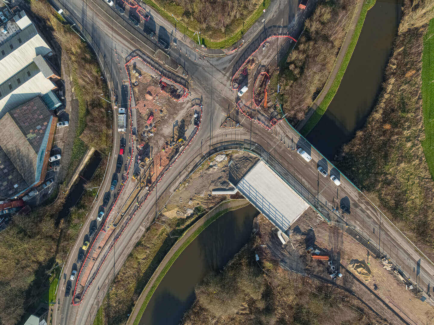
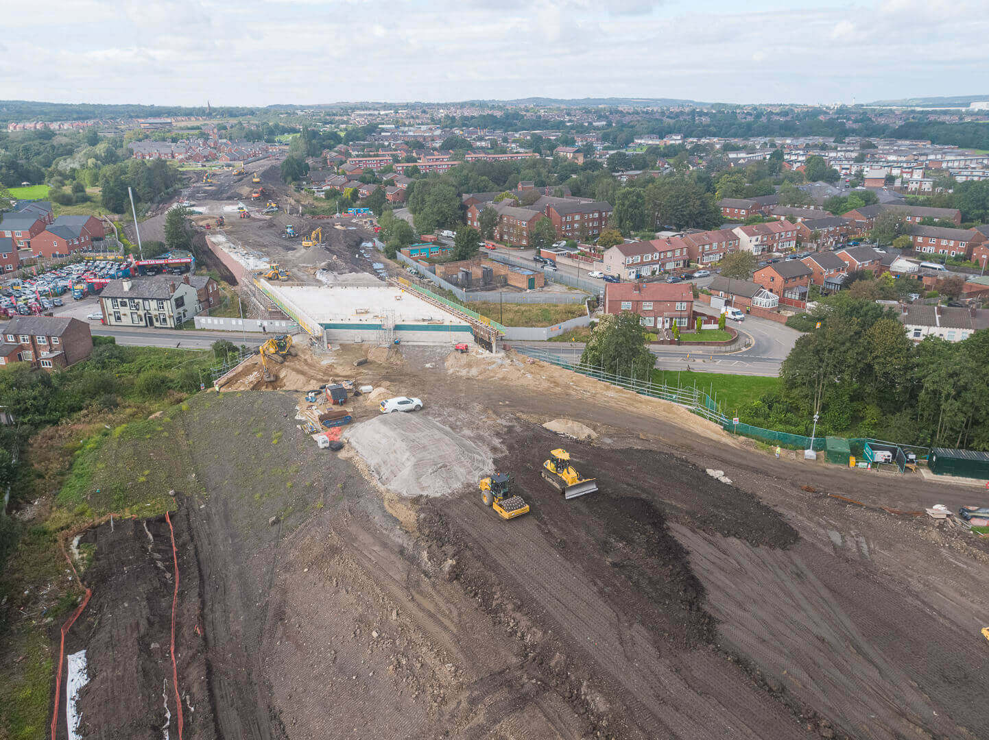
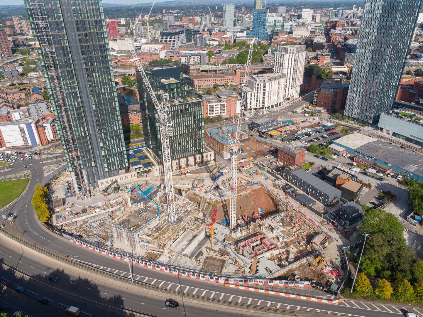
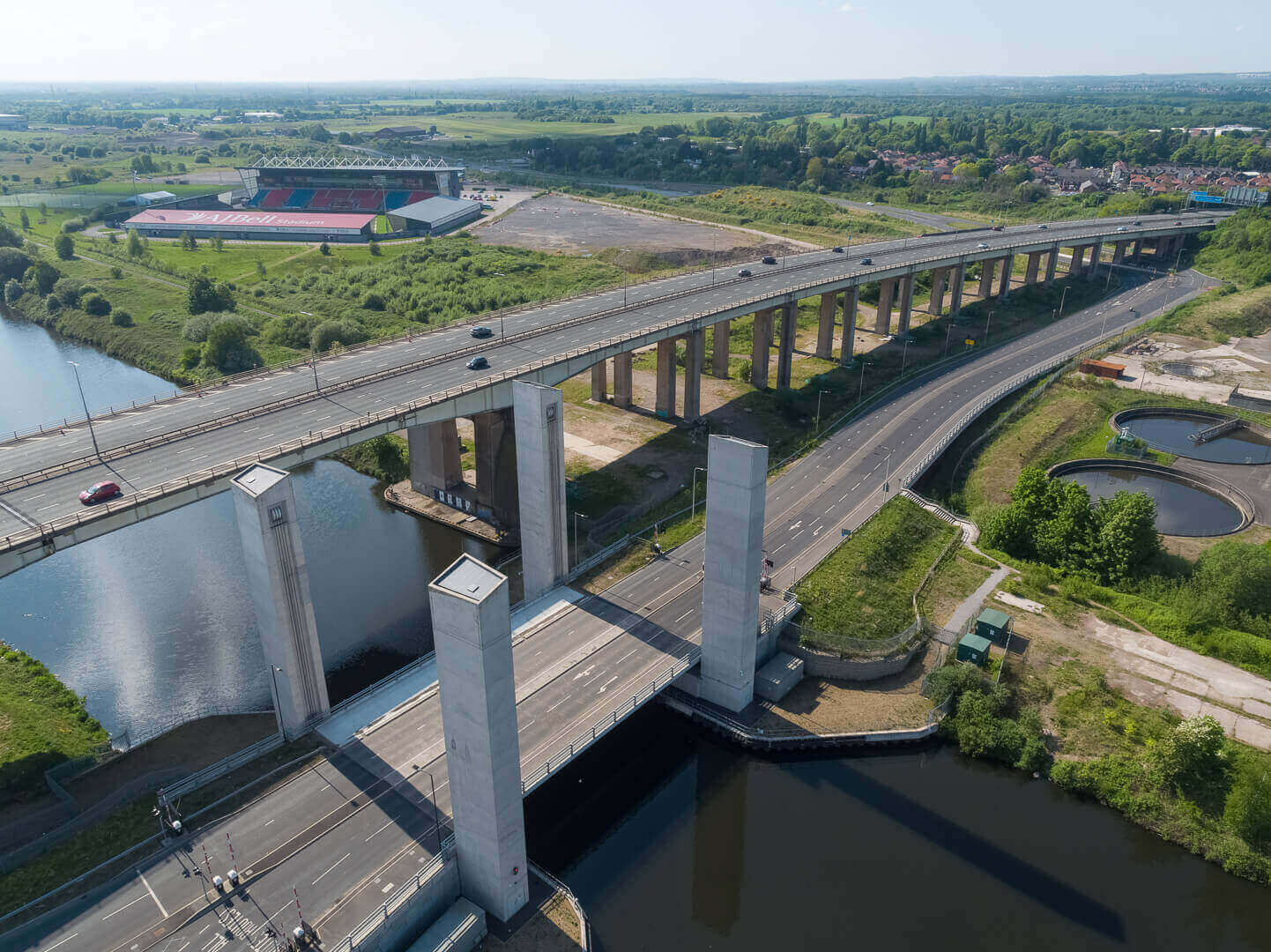
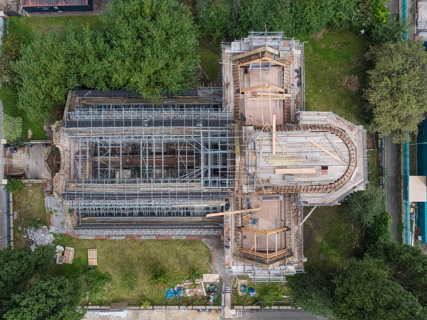
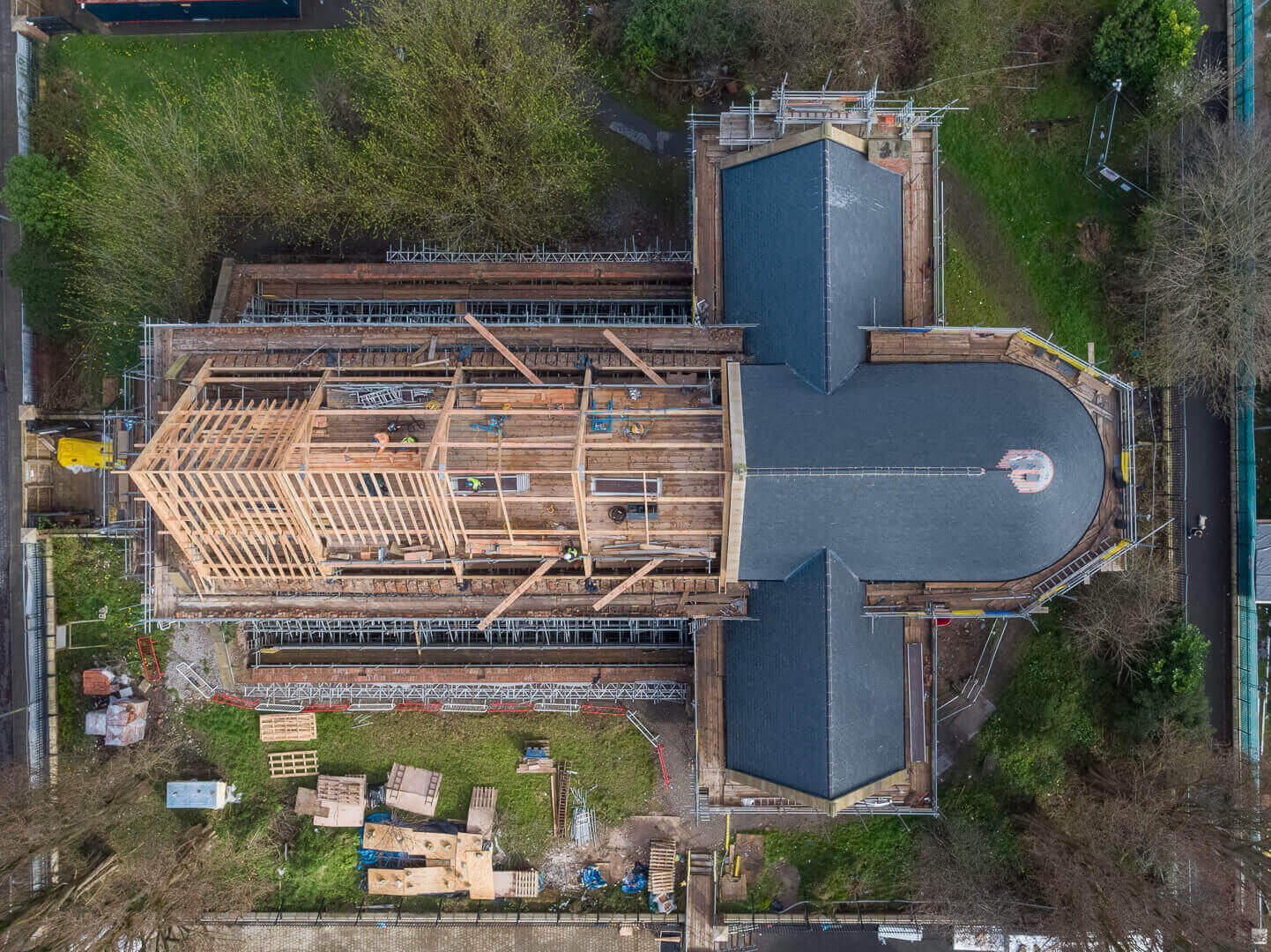
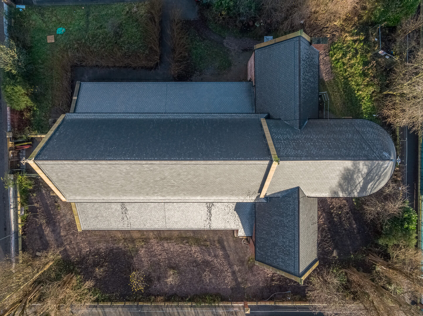
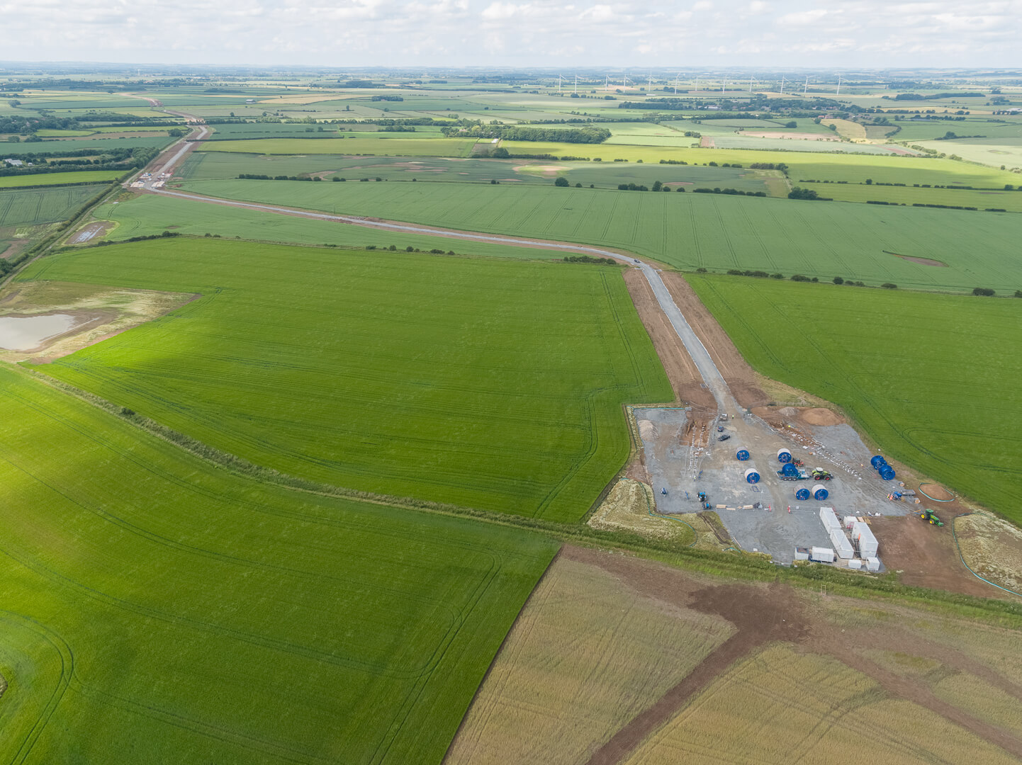
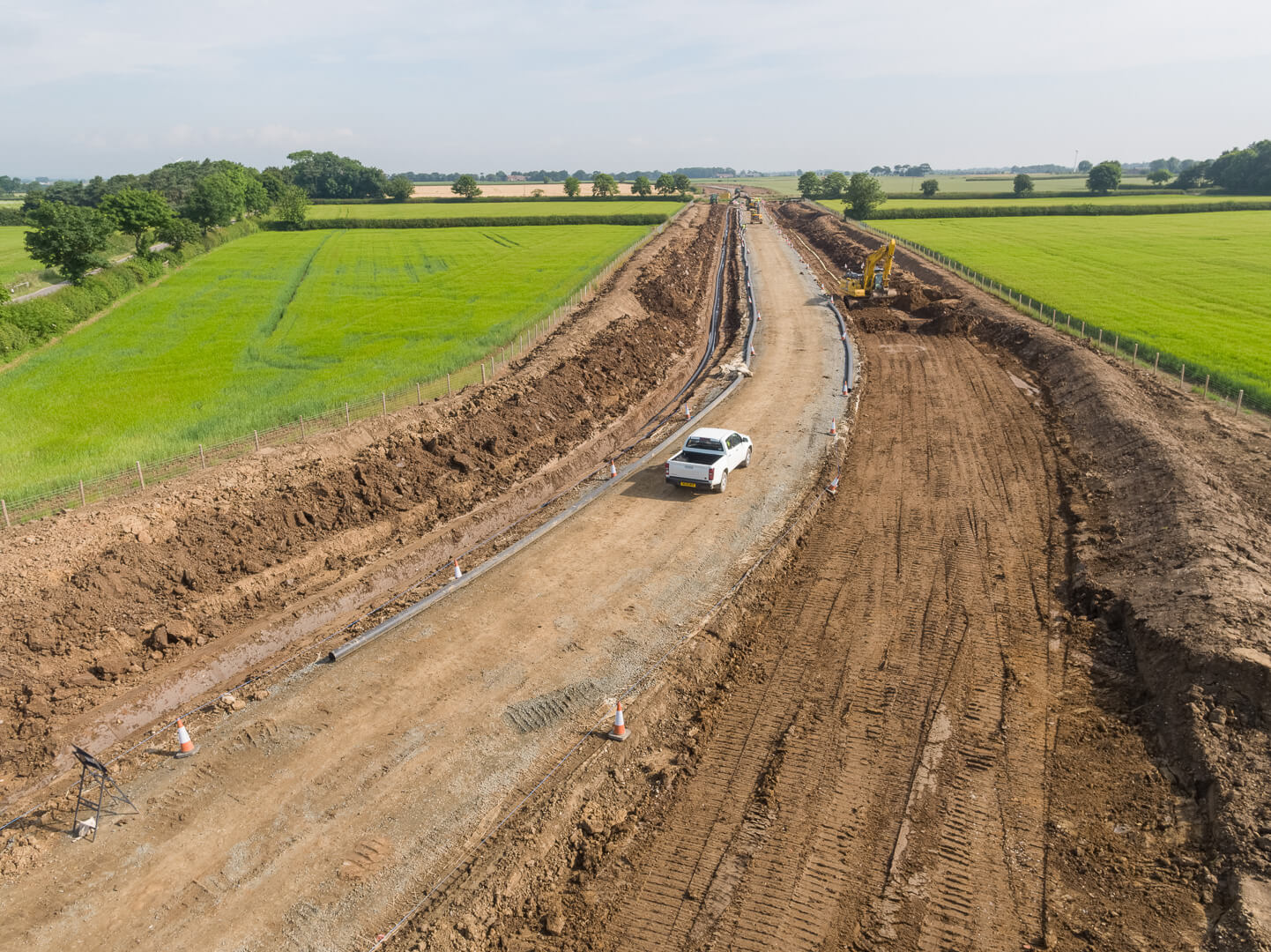
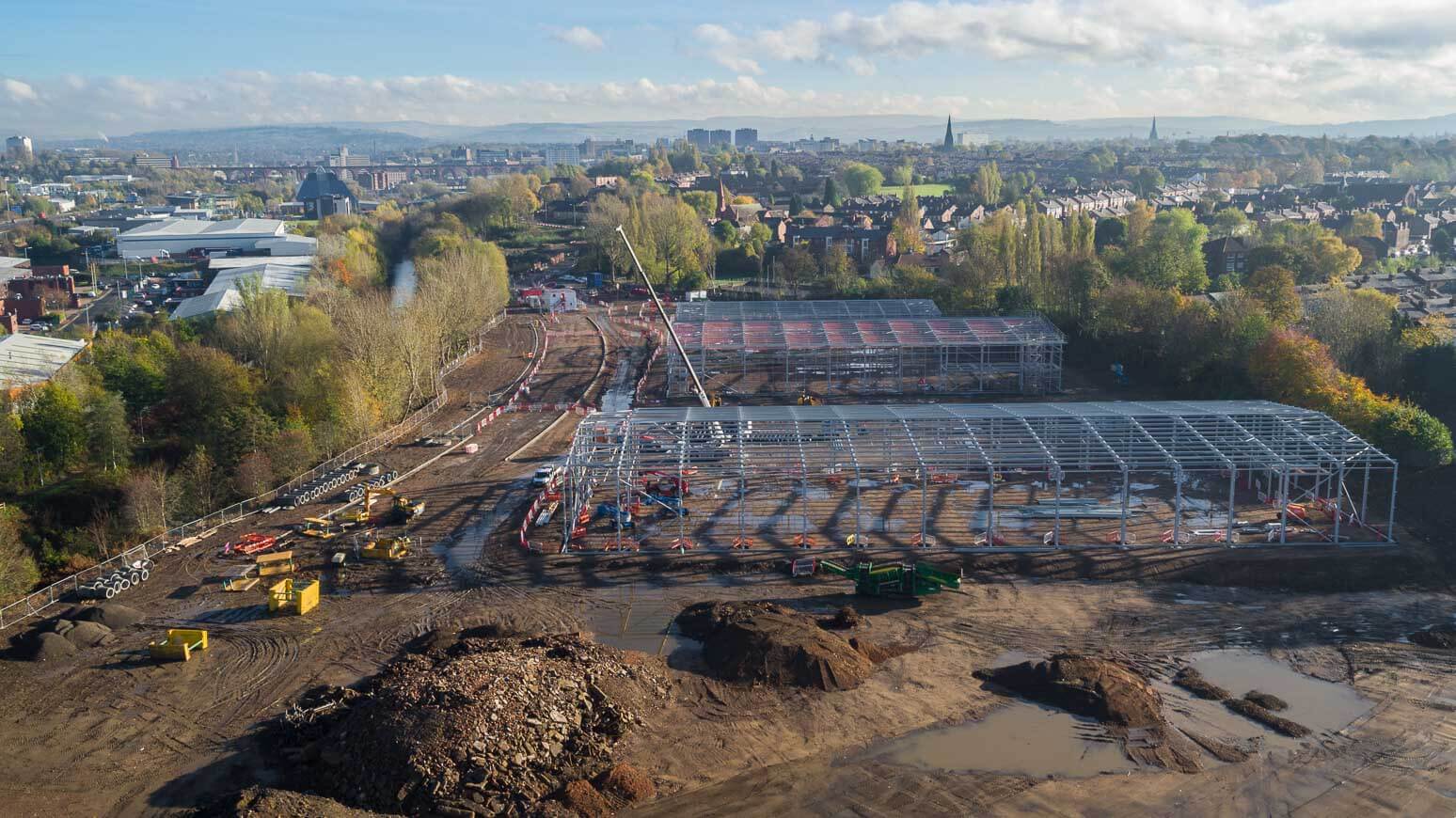
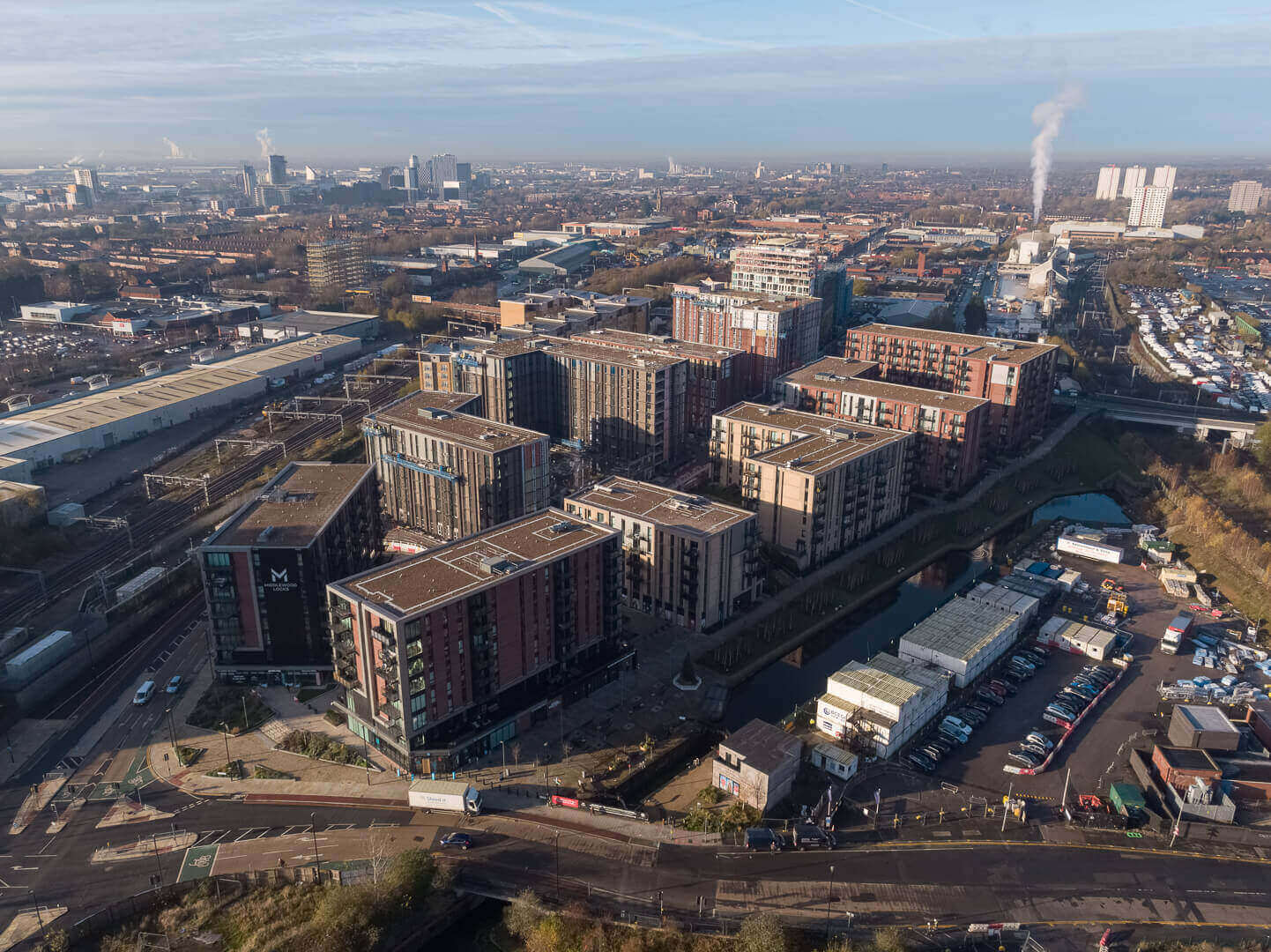
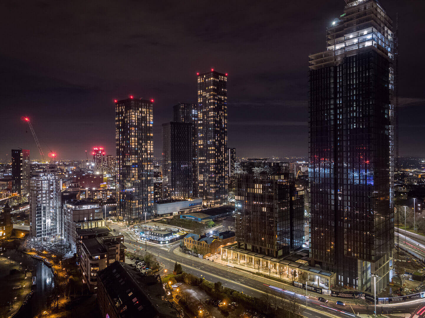
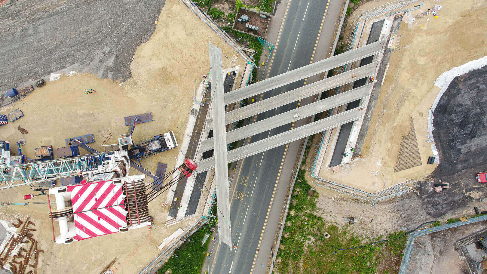
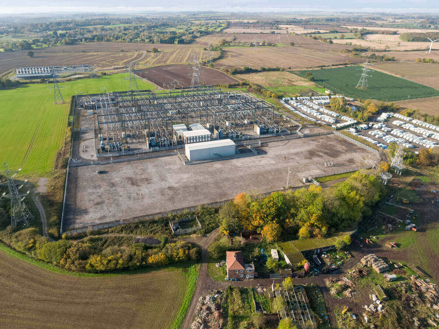
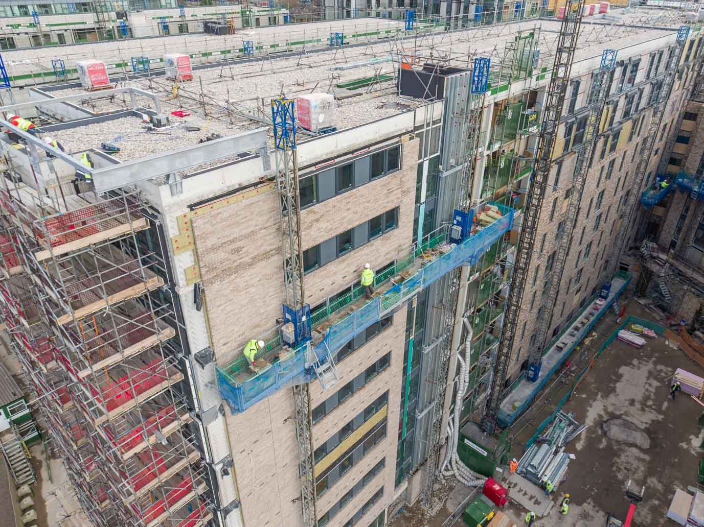
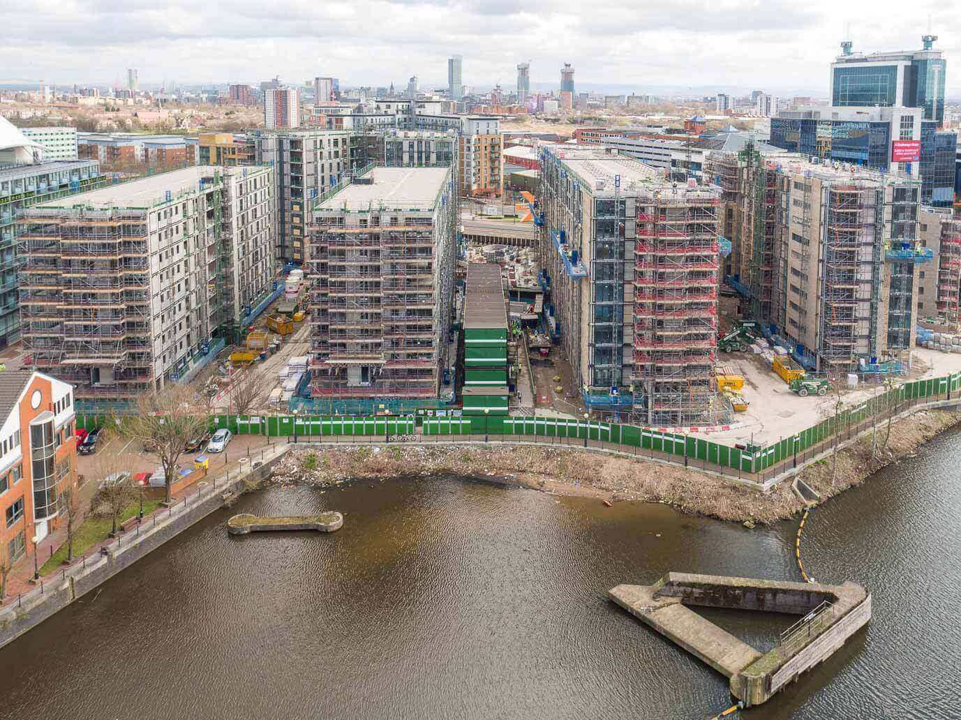
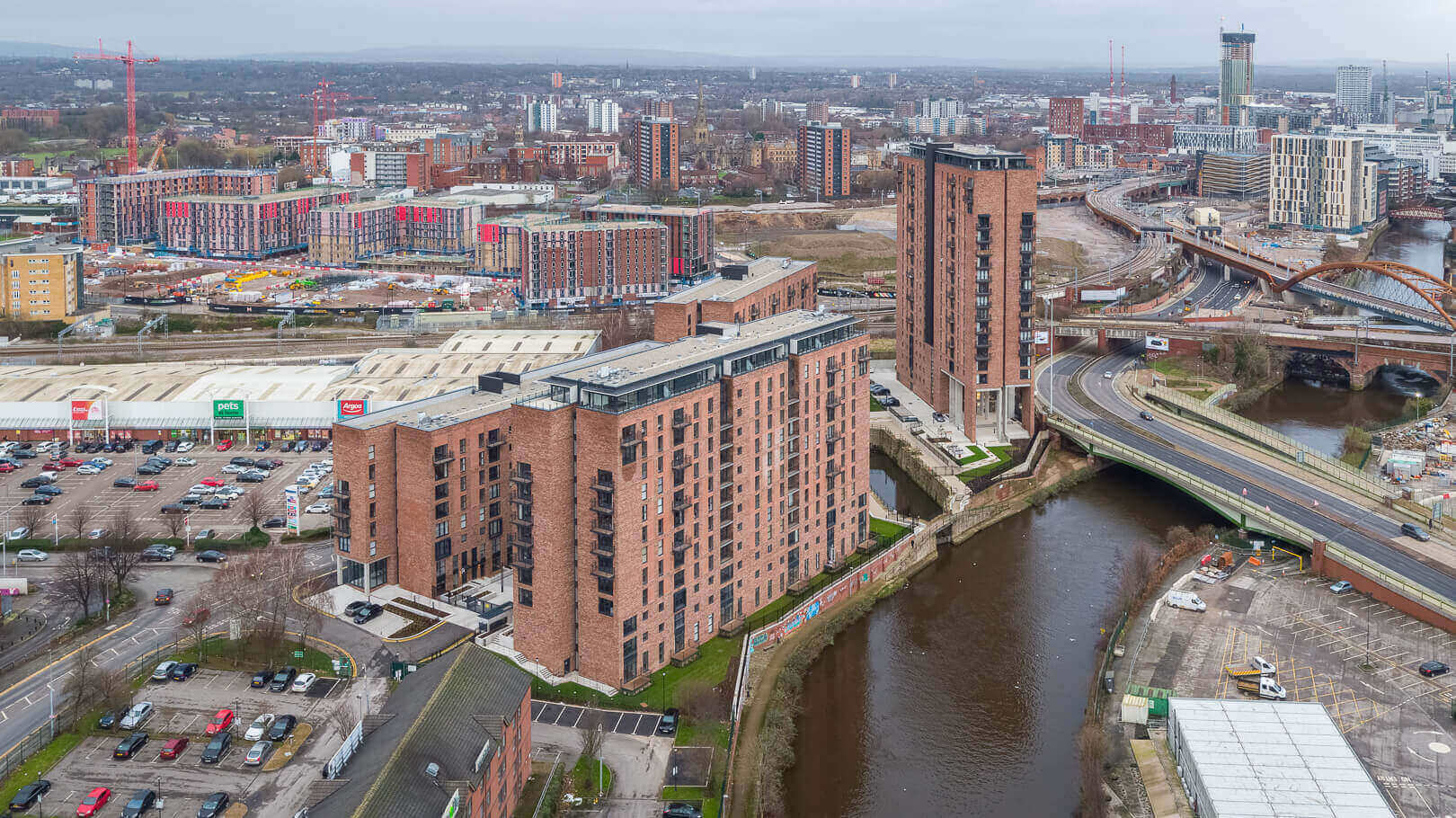
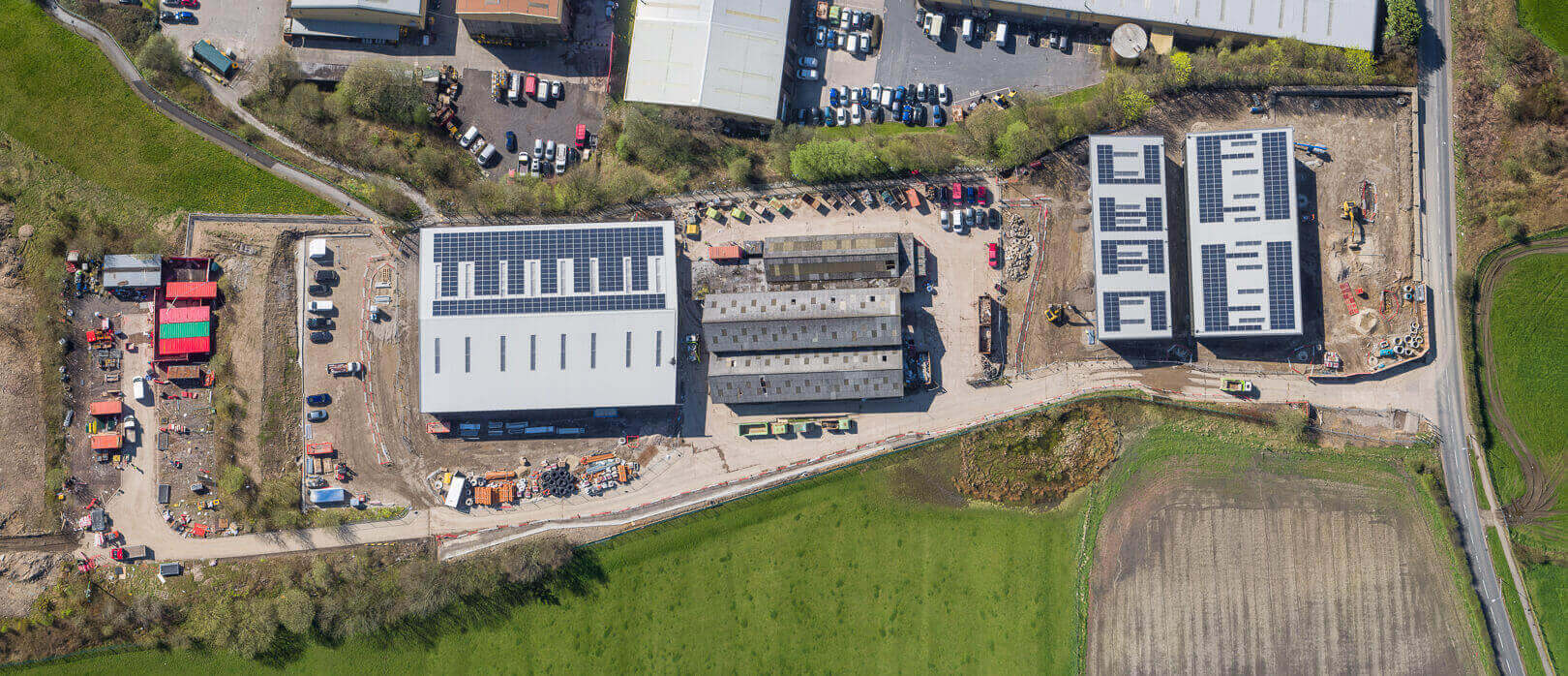
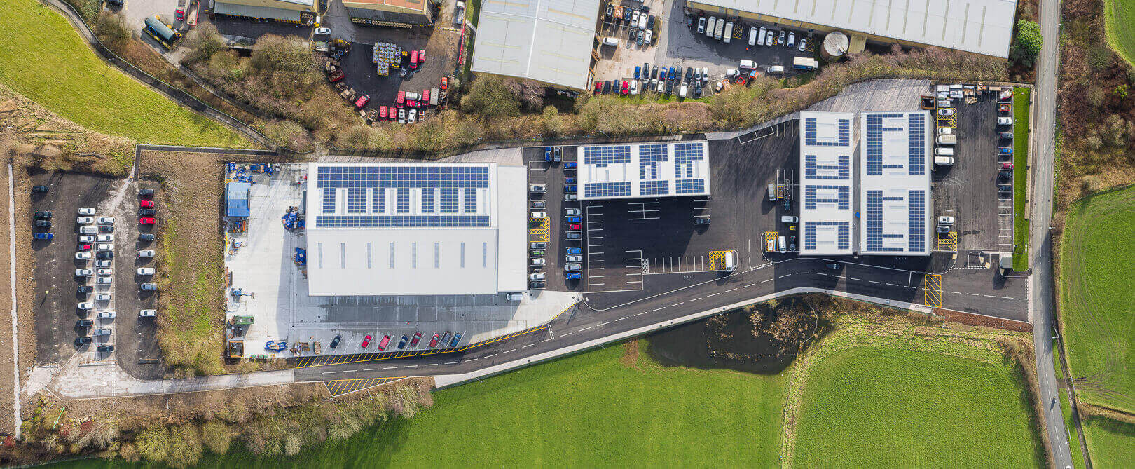
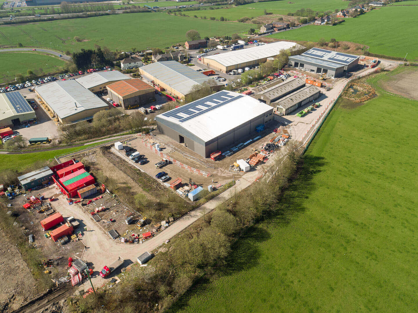
Aerial photography is perfectly suited for construction sites and civil engineering projects, whether to record routine progress, a special milestone event or capture a completed project.
Through photography and / or video, drones can provide stunning aerial footage from perspectives that wouldn't otherwise be possible, whether it is for practical or safety purposes, or to promote work and services.
With 15 years of previous experience in Building Surveying and Project Management, and a current specialist architectural and construction photographer, Midi Aerial Photography provides an almost unique mix of expertise to record your projects professionally, safely and to the highest standard.
Drone surveys
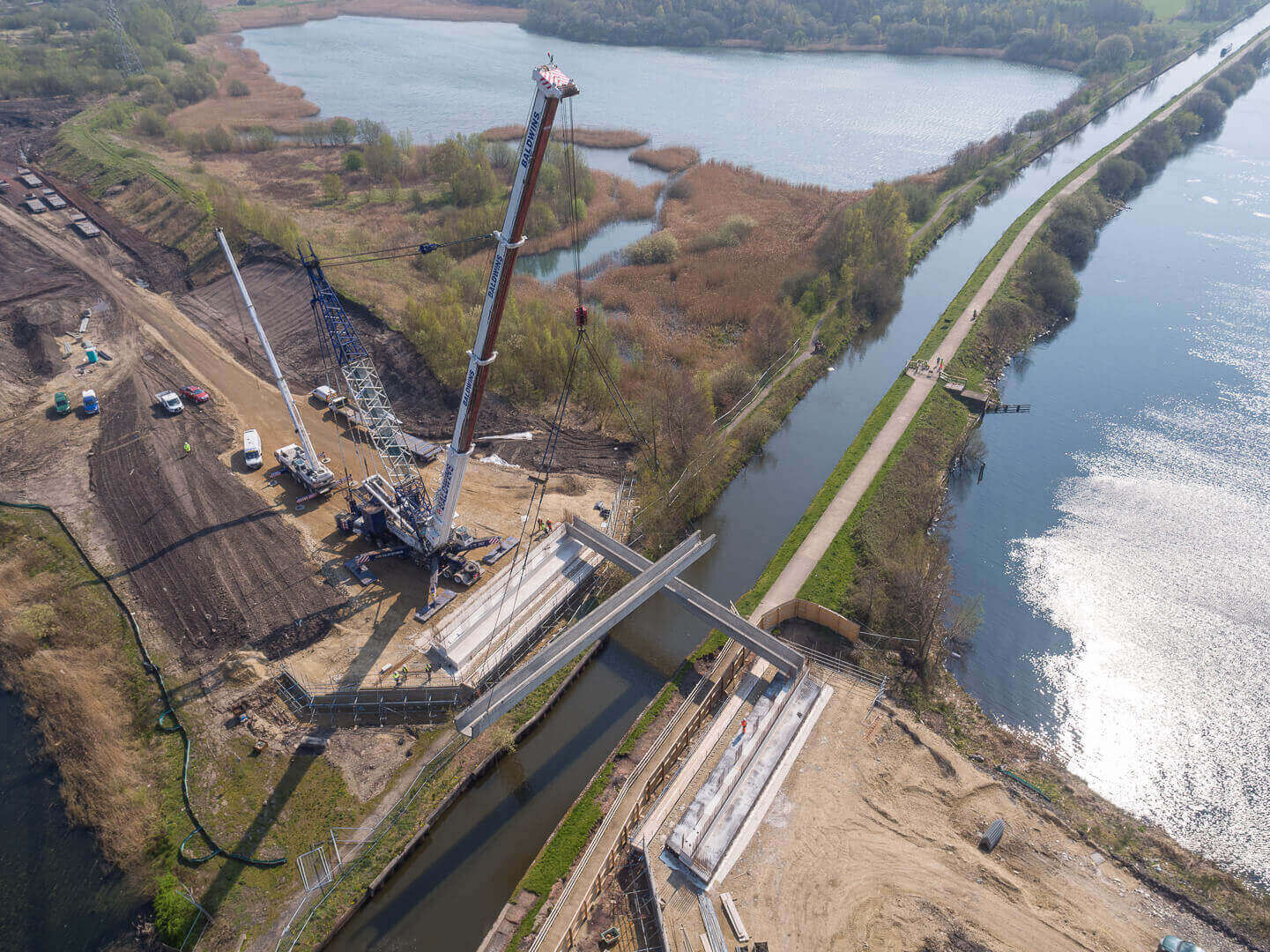
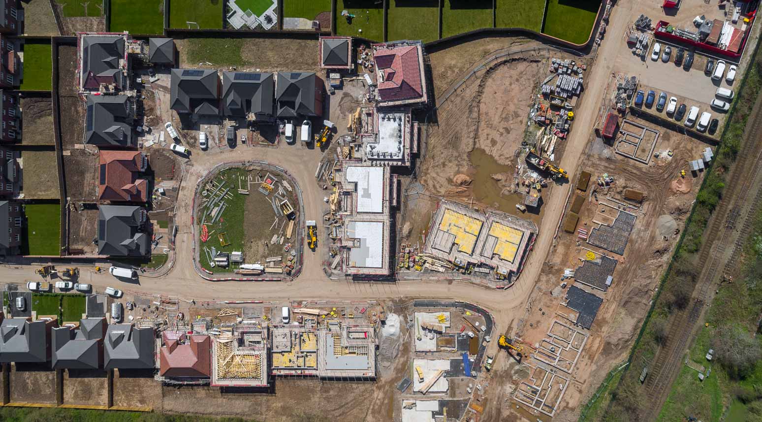
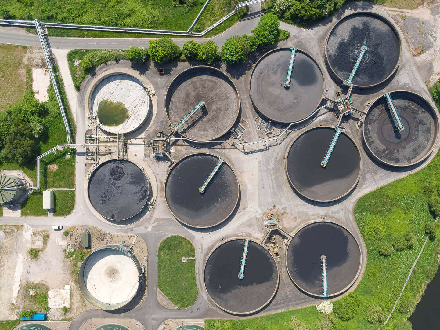
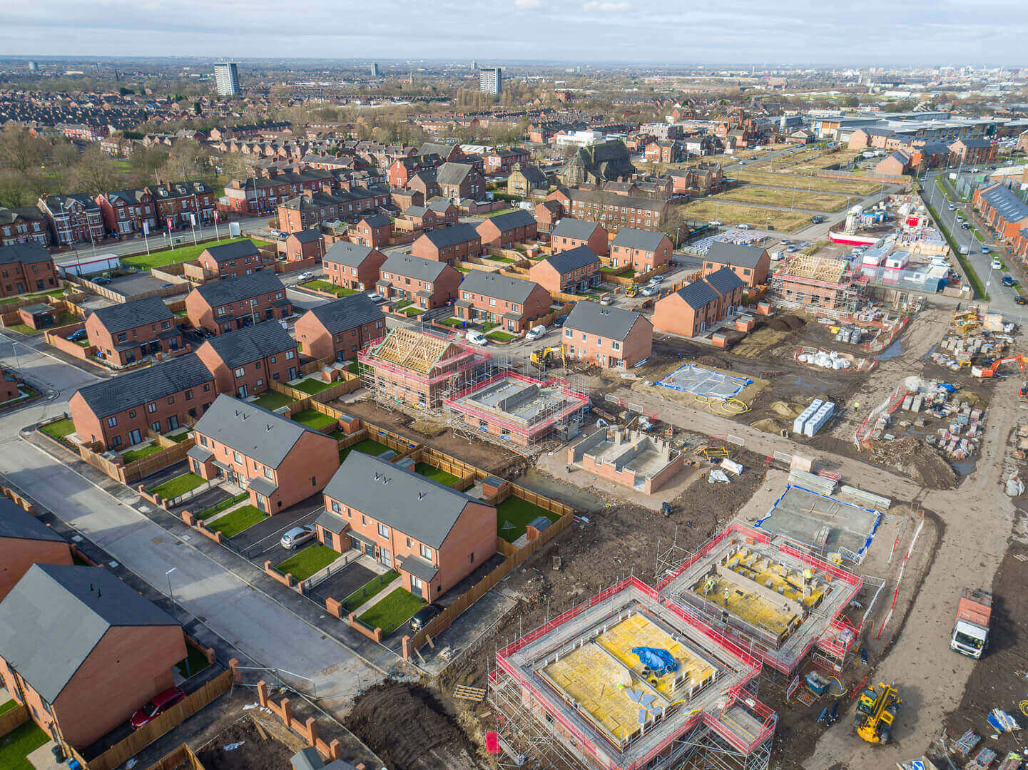
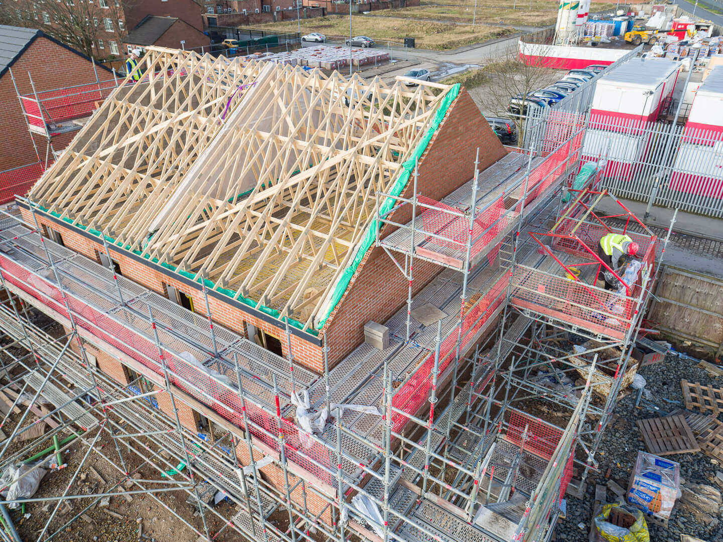
Drone imagery, video and / or 3D photogrammetry mapping can help you to assess and survey a site's feasibility as part of your pre-start or due diligence work. This is ultimately safer, more cost-effective and less time consuming than traditional survey methods.
Creating a visual documentation of a site can eliminate the need for lengthy and costly procedures, enabling you to produce surveys, inspections and progress updates far more quickly.
Aerial photography and video
Having real-time, high-resolution data of an ongoing project means you can communicate updates easily to all parties. Use drone photography to analyse sites and update pre-construction plans based on accurate data, as well as monitoring work for progress, accuracy and quality.