The Benefits of Commercial Drone Photography
Commercial drone photography is becoming more and more popular in the construction and property industries, and it’s not hard to see why. With advancements in technology and 4K clarity, we are able to capture footage of building projects and site developments like never before.
If you work in the built environment sector, you may have considered using commercial drone photography services to take images of your own ongoing projects. However, you might be wondering what a drone can truly offer you.
As specialist aerial photographers, Midi Aerial Photography has seen the benefits drone images can offer companies such as yours first-hand. To give you a better idea of what advantages commercial drone photography can bring to the table, we have listed the five top benefits.
1. Safety
First and foremost, safety should always be your number one priority. By using a drone to take images of commercial developments and construction sites, you mitigate the risk of people injuring themselves when trying to take the perfect shot.
Some places are out of bounds for a reason. Getting a great image of a building by hanging out the window, going up to the roof or climbing an unsafe structure is extremely unnecessary, as there’s a chance your photographer could injure themselves. Commercial drone photography opens up a much safer way to take the perfect images, as the work is carried out at ground level from a safe distance.
That said, you need to be confident that the drone operator you hire is a competent flyer. To legally fly any type of Unmanned Aerial Vehicle (UAV) for commercial use, operators have to pass stringent tests with the Civil Aviation Authority (CAA). This allows them to fly a drone under the following conditions:
-
Operate at least 50m from any person, vessel, vehicle or structure that is not under the control of the operator (ie. anything you do not have permission to fly near), or 150m from a crowd of more than 1,000 people
-
Must not exceed the maximum height of 400m
-
Must not exceed the maximum horizontal distance of 500m
These are Standard Permissions granted by the CAA that give an operator Permission for Commercial Operations (PfCO). They must also have drone specific insurance, including public liability insurance.
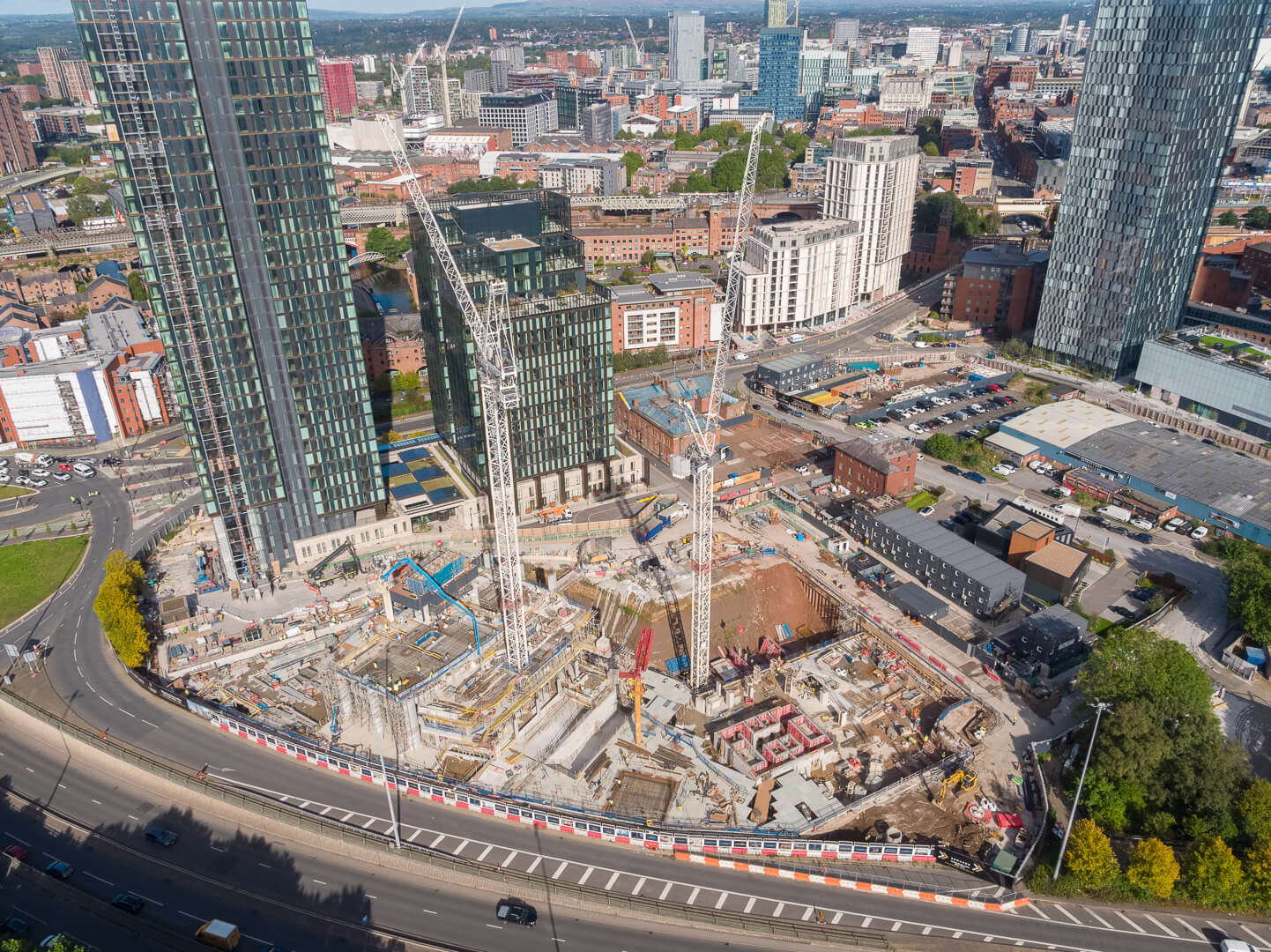
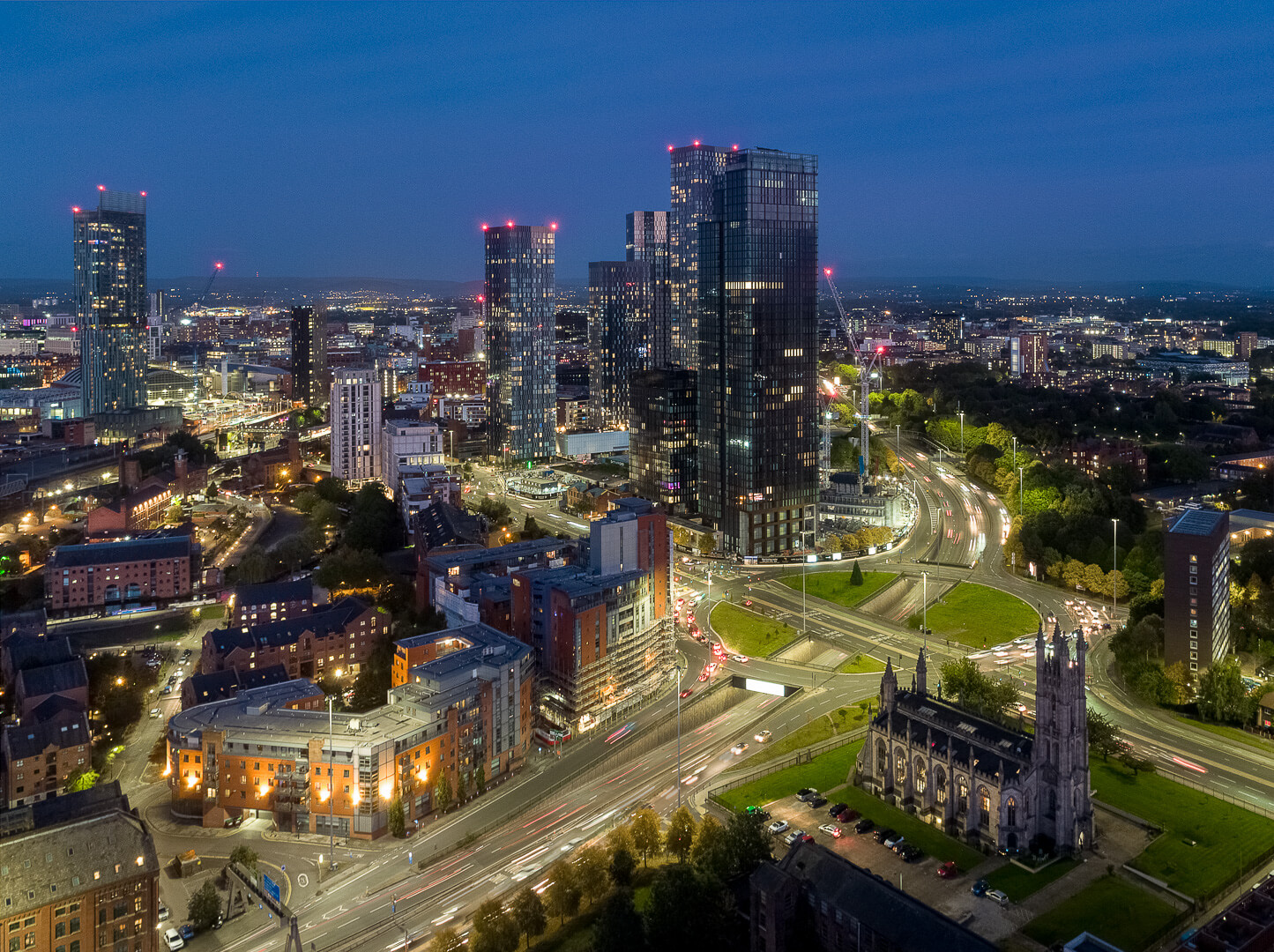
If the project you need photographing is in a built-up or urban area, such as Manchester City Centre, it is inevitable you will need an operator to fly much closer than 50m to surrounding buildings. For this reason, you should consider instructing a drone operator who has Extended Permissions from the CAA via an Operating Safety Case (OSC). Being awarded Extended Permissions is a very rare achievement, as only the most dedicated and competent flyers ever earn them.
Midi Aerial Photography has been granted a CAA OSC, which means we can operate drones at a minimum of 10m from other buildings, people, vessels and vehicles at take-off, and a minimum of 30m during flight. Perfect for flying in congested environments.
2. Accuracy
Commercial drone photography is not just about taking pictures; there are more practical elements to using a drone that will give you an accurate stance when gathering details on your project.

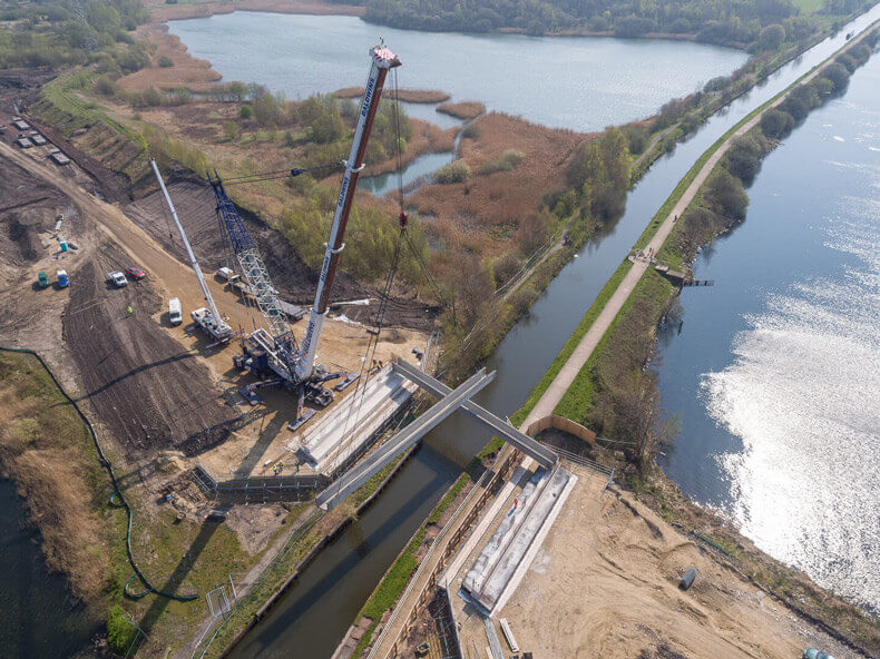
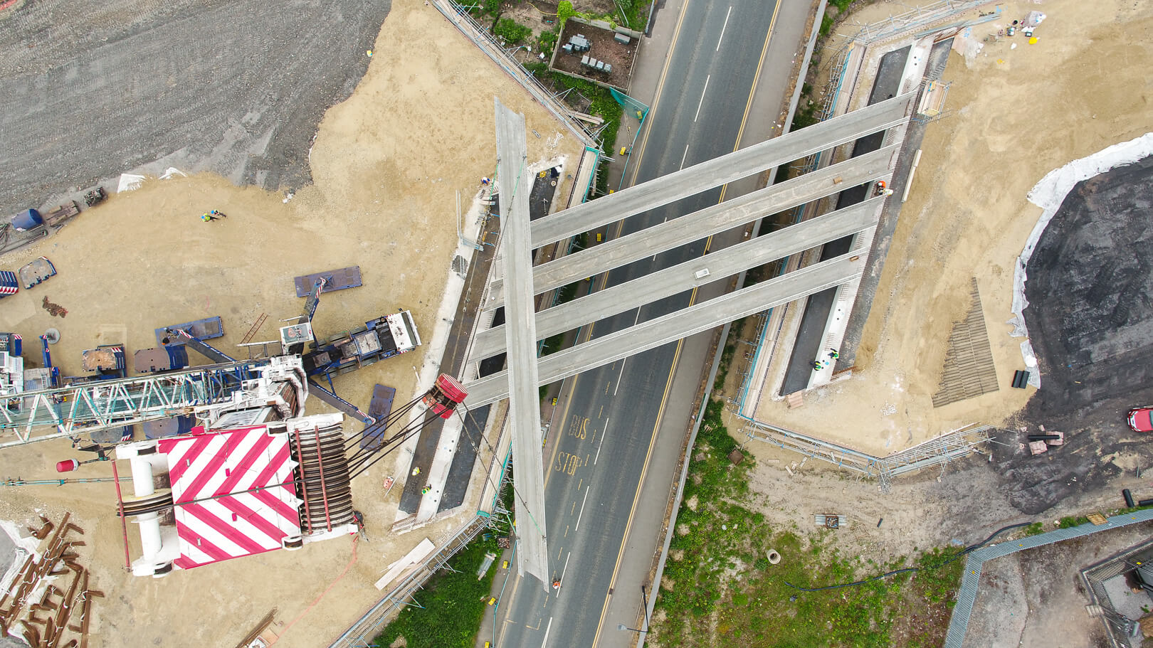
In construction or civil engineering, one drone flight can produce thousands of data entries, which can be based on the quality of the land you are developing on spatial awareness. All this data can then be used to create photogrammetric maps, 3D models, thermal images and architectural blueprints.
A drone can also be used to map unreachable or potentially hazardous areas. By using a drone to do this for you, you get the complete picture without putting anyone at risk. For the most accurate data, you can use Midi Aerial Photography’s second monitor to view the footage live, directing us as necessary.
3. Speed
With all the prep work complete, you can be on site with the drone set up and ready to fly in minutes. The only time the drone needs to land is to change batteries and when the job is complete.
Using more traditional access methods, most hard-to-reach and potentially hazardous areas will require the use of temporary or permanent scaffolding, maneuvering access platforms, or using cherry pickers. This can take plenty of time and cost to arrange, set up and move around the site or a building. Even then, it might not be good enough to view what you need, or the site may be too restricted for their use. I’ve been up scaffolding and used cherry pickers and platforms myself. Using a drone beats them all hands down in every department.

On construction or civil engineering projects, getting from A to B to C is much easier and quicker using a drone. With limited walking and climbing only required by the operator, the drone is used to do all the legwork safely and at a far quicker pace.
The traditional surveying and photography methods of a construction or engineering project could take days or weeks to complete. Expansive sites will either require one dedicated person who can survey the entirety of the site, or a large team who can carry out the task. Commercial drone photography cuts that time significantly.
Drones can survey a huge development, structure or piece of land in a relatively short amount of time when compared to traditional methods and the data is automatically collected and stored on a computer. Not only will the site be covered in a shorter time frame, there is no need for manual input.
4. Cost-Effectiveness & Value
Traditional methods are not only slower than drone technology, they are usually more expensive. As already mentioned, scaffolding, platforms and cherry pickers may otherwise be required to gain access to where you need to be. Hire costs can be extremely expensive, as can location permit costs. By using commercial drone photography, the costs are clearer and lower because the operator does not need as much time to complete the work, and is usually more straightforward to arrange.

Hiring a team to survey and photograph a large project could cost a significant amount, as you have to cover their time, labour, and equipment. By using a drone operator, your team’s time and costs can be utilised on other work.
When it comes to commercial projects, there is very rarely a flat fee for surveying work as it depends on the size of the development, but drone photography offers a cost-effective yet high value solution. To discuss a pricing strategy to survey or photograph your project, get in contact today.
5. Quality Marketing Material
Every industry is competitive, and the construction and property industries are no different. Your new project may have been completed to the highest standard or an existing development may be a landmark within its area, but there is still work to do once the project is complete.

How you market your project is arguably just as important as the quality of work itself and reflects just as much on you. Eye-catching marketing material using new technology brings more attention to your company, and could lead to you winning more work.
With Midi Aerial Photography taking your commercial drone photography, you have the distinct advantage of having Mike Dinsdale’s architectural photography skills, but from the air. We capture high quality, striking images and / or video footage of your projects from unique aerial viewpoints, which can be used in brochures, on your company website, and in presentations when pitching to potential clients or reporting to existing ones. Using aerial content allows you to show off your expertise from a whole new perspective, demonstrating your company’s ability to take on any project.
Who Can Benefit From Commercial Drone Photography?
Commercial drone photography can be conducted to assist professionals across the entire built environment sector. Many of our clients work as:
-
Building Surveyors
-
Civil Engineers
-
Marketing, Business Development and Bid teams
-
Construction Managers
-
Site Managers
-
Land Surveyors
-
Property / Land Developers
-
Commercial property owners
-
Maintenance Surveyors
-
Facilities Managers

